
THERE are some areas of Bolton that really are quite difficult to distinguish between.
Perhaps you think you live in Heaton but your neighbours consider themselves as living in Smithills.
Districts appear to have changed, somewhat, over the years too which only adds to the confusion.
There are some rather blurred lines where districts seem to merge into each other.
What is definite though is that the various districts of Bolton once had a very distinct identity all of their own and were regarded as villages in their own right.
It can be a fine line when it comes to describing areas of Bolton and and if we have any problems we know we can rely on our readers to help us with these mysteries.
There are many amateur historians among our Looking Back readers who are always keen to help us out and their experience and knowledge cannot be underestimated and is certainly appreciated.
Norman Hindley was more than happy to help decide if Ashworth Lane was in Astley Bridge or Sharples when we asked in a recent edition of Looking Back. There was some confusion about this Lane and as Astley Bridge and Sharples are next door neighbours it is little wonder confusion reigns at times.
Norman was born in Holland Street, Astley Bridge and lived there until he got married.
For the past few years he has been researching the area and in the process of writing about its history and its people.
He talks about Astley Bridge as being "the village" — which, of course, it very much was with almost everything available to buy or do in this small suburb of Bolton.
"Many of your photographs bring back plenty of memories for me, memories of when I lived in the village.
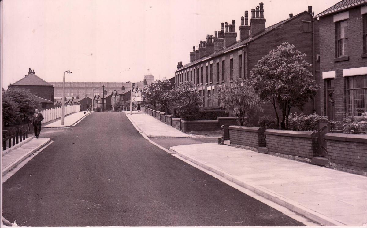
"I think the recent photograph of Astley Bridge was taken by a photographer risking his life by standing in the middle of the road, probably just outside the Bank Top Church, explains Norman.
"However when it was taken probably the land past the old Bank Top School had not been developed as it is today so traffic past this point would be pretty light, with just Hugh Lupos Street, Eleanor Street and the school creating traffic," he adds.
On the left of the picture, says Norman, before the building of Whitegate Drive and the rest of the estate were two big meadows with a hawthorn-edged footpath running between them.
This path apparently ran from West Glen with its bubbling Barley Brook through to Yew Tree Lane.
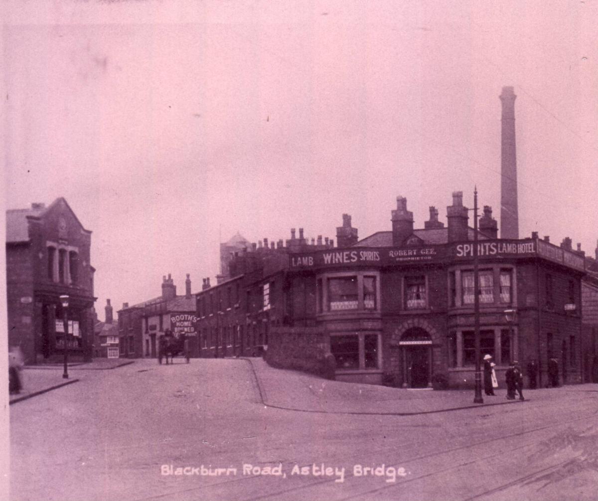
The Manor of Sharples was a very large area, explains Norman, comprising 3,999 (and a half) acres of land which took in Anglezark, Rivington, Winter Hill, Smithills Whinberry Hill, Hordern, Belmont, Bromiley "and what we now call Astley Bridge which back then was known as Lower Sharples," he explains.
A family named Astley apparently bought some land in Lower Sharples in the late 16th century and from that time Astley's land and the bridge carrying the road to Blackburn became known as Astley Bridge.
"There was an anomaly within Astley Bridge as there were pockets of Little Bolton in the village.
"In 1864 Lower Sharples and the part of Little Bolton officially became Astley Bridge Board of Health; however there are a number of references to Astley Bridge prior to this date."
So, says Norman, in order to answer the question about Ashworth Lane he believes it is in Astley Bridge.
"When Bank Top school was replaced with the new Sharples Primary School and the building of what is now known as Sharples Science College, I believe that Sharples came back into fashion.
"I suppose it could be called poetic licence and it really does not matter if it is Astley Bridge or Sharples — with the possible exception of a an estate agent selling a house," he says.
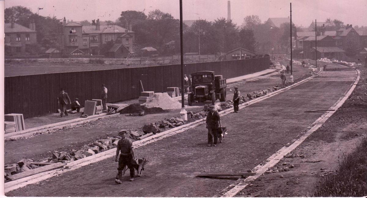
The Ashworth family brought the industrial revolution to Astley Bridge when they built New Eagley Mills and before the mills were built the road would just have been a farm track to Bank Farm, explains Norman.
"I feel sure the track would have had to be upgraded to take all the building materials and machinery needed to build and equip the new mill.
"This upgraded road was known as Ashworth Lane," he says.
There are at least two possibilities for the name, explains Norman. "Firstly they may have owned the land or it was acknowledging the Ashworths for upgrading the farm track.
"Incidentally although the new mill was more than half a mile from Blackburn Road this was the only vehicle access to the site as there were no road bridges from Tonge Moor or Birtenshaw over Eagley Brook."
If you have your own mystery you would like our readers to help you solve do get in touch.
Perhaps you are unsure of Bolton boundaries and would like some assistance.
Get in touch with Gayle McBain on 01204 537269 or email gayle.mcbain@nqnw.co.uk and we will do our best to help you.


Comments: Our rules
We want our comments to be a lively and valuable part of our community - a place where readers can debate and engage with the most important local issues. The ability to comment on our stories is a privilege, not a right, however, and that privilege may be withdrawn if it is abused or misused.
Please report any comments that break our rules.
Read the rules here