

THESE photos from our archive files certainly show how things have changed over the years.
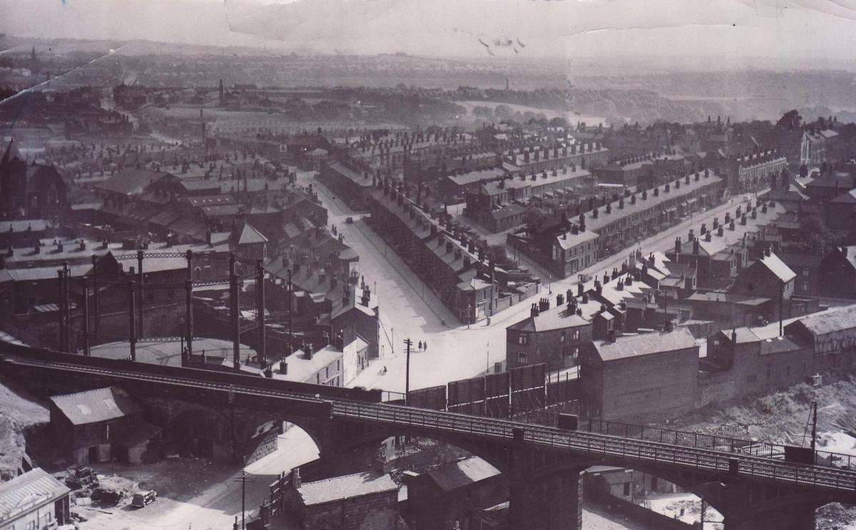
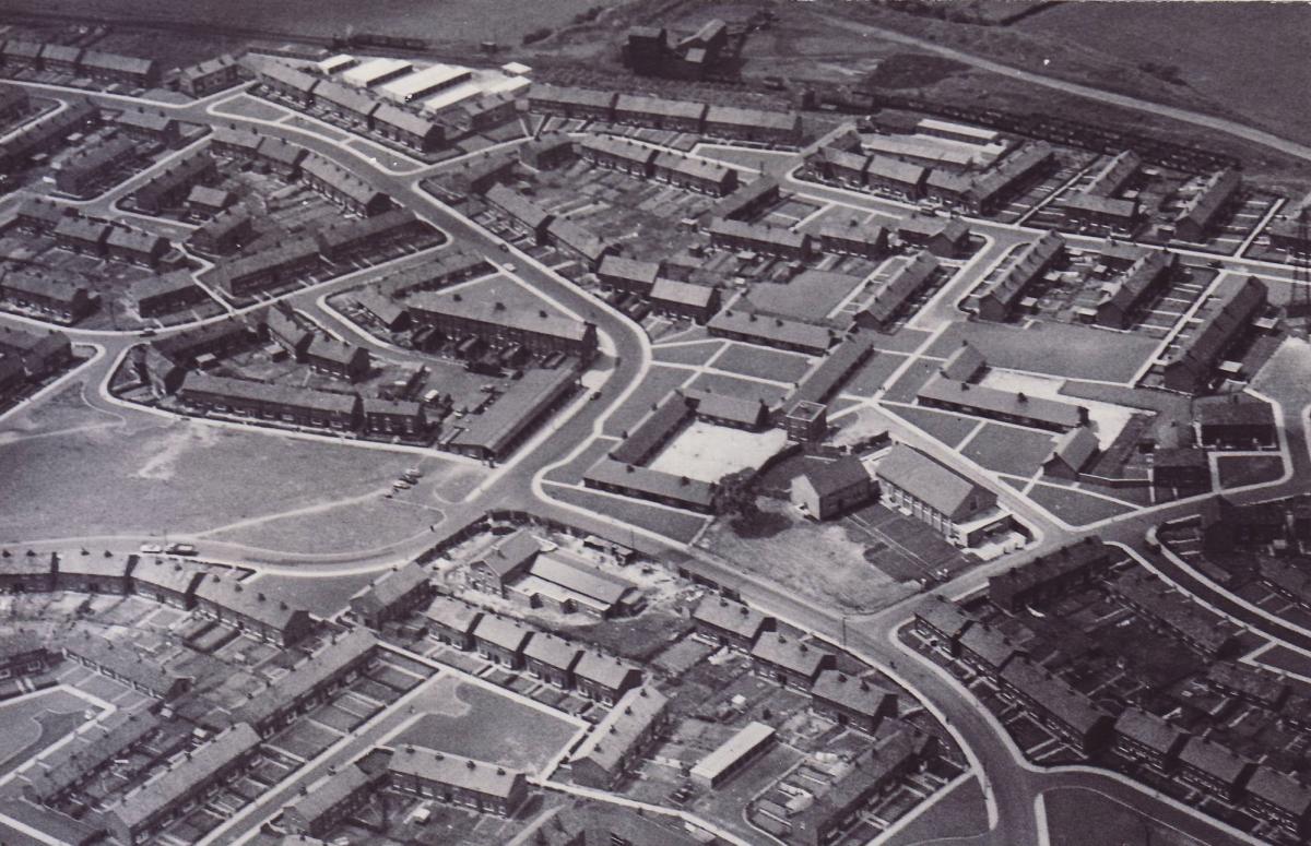
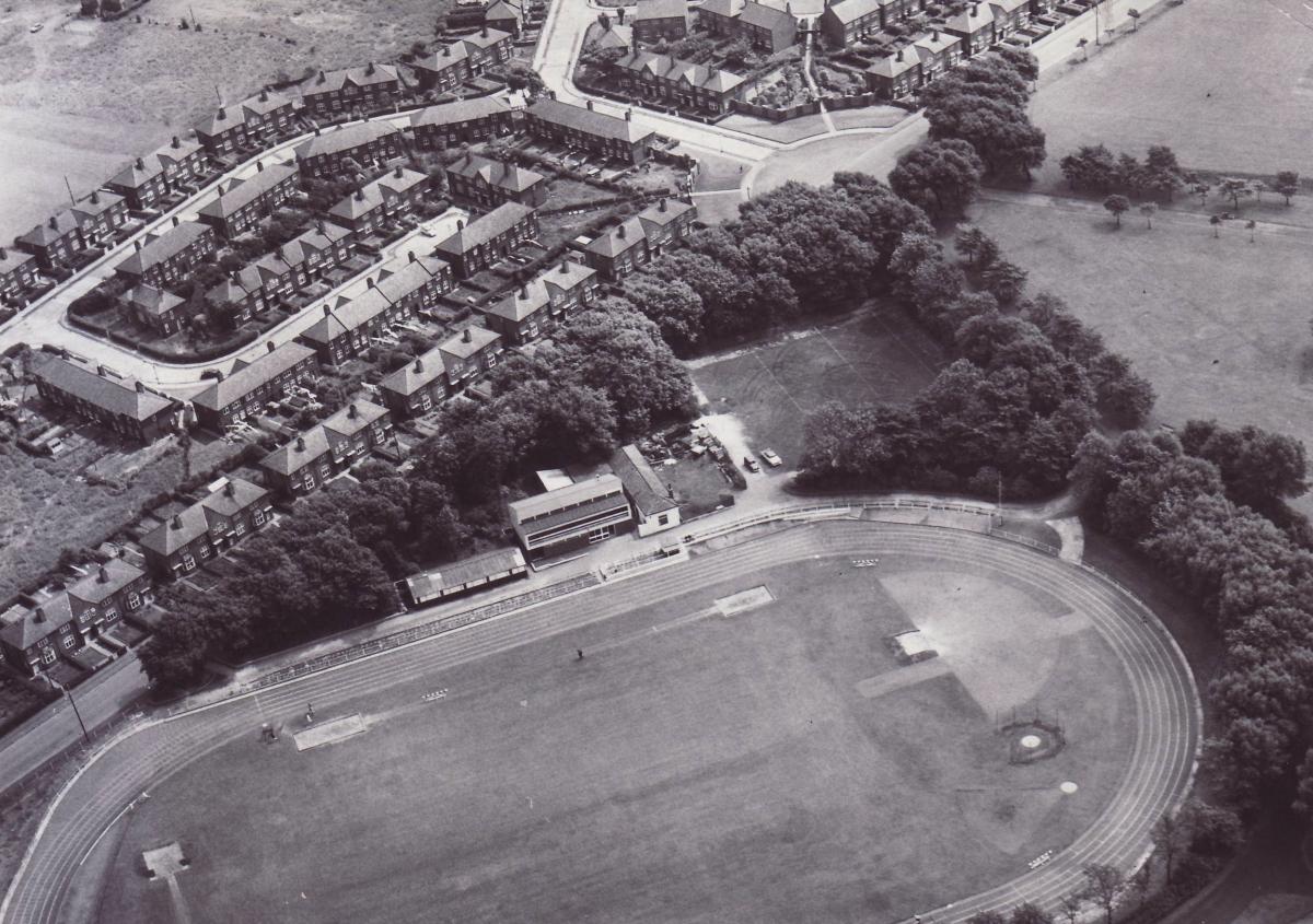
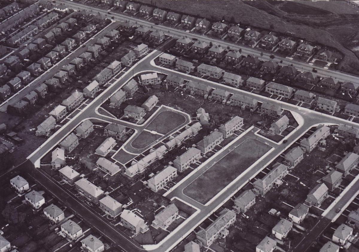
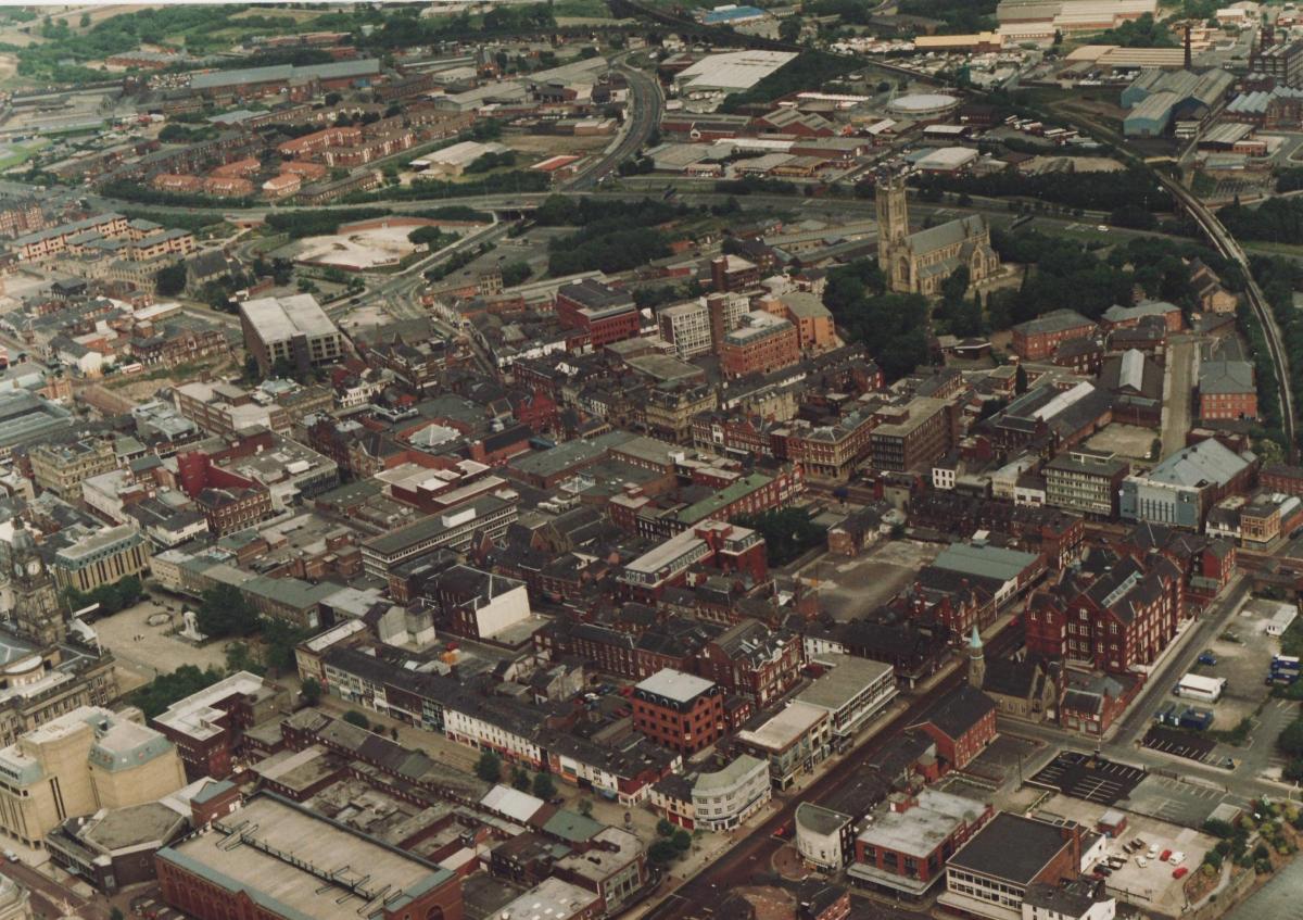
Taken from light aircraft or high vantage, the aerial images document Bolton’s growth into one of Europe’s largest towns.
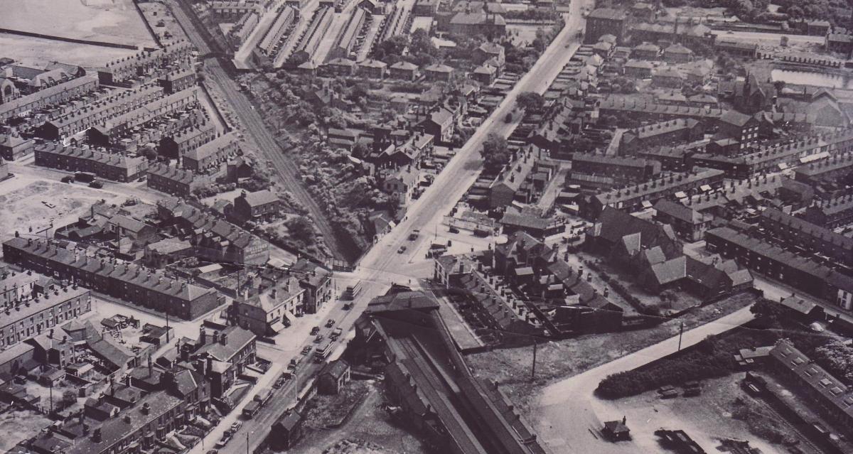
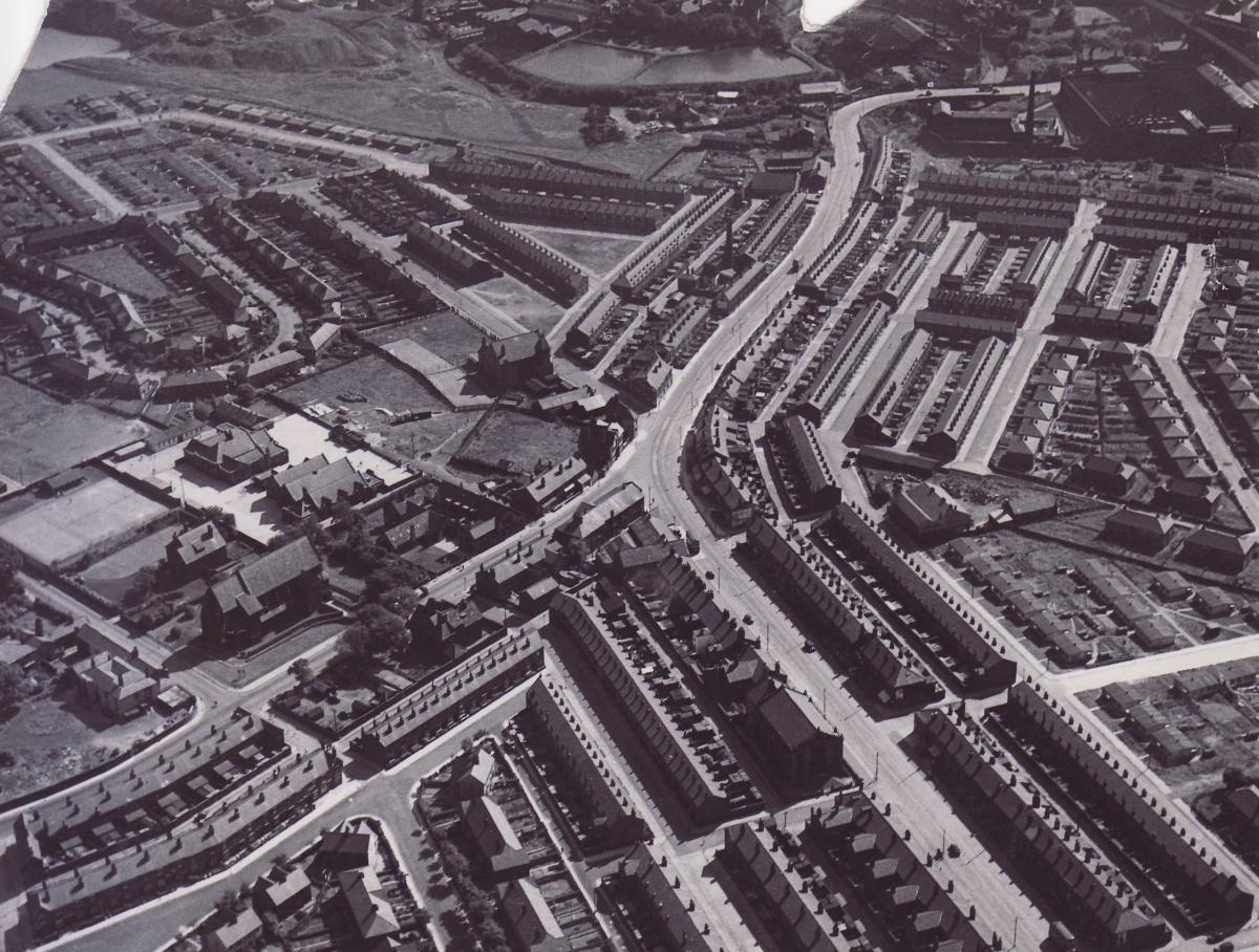
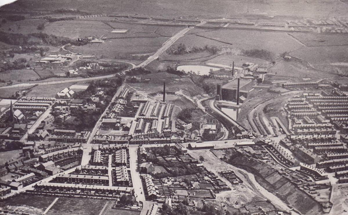
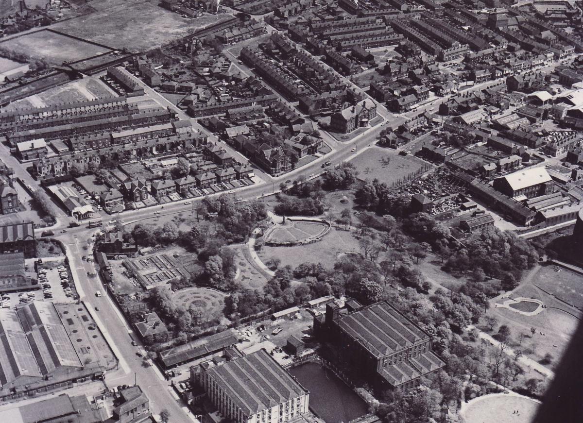
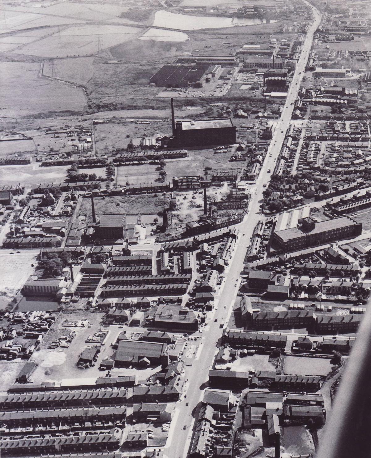
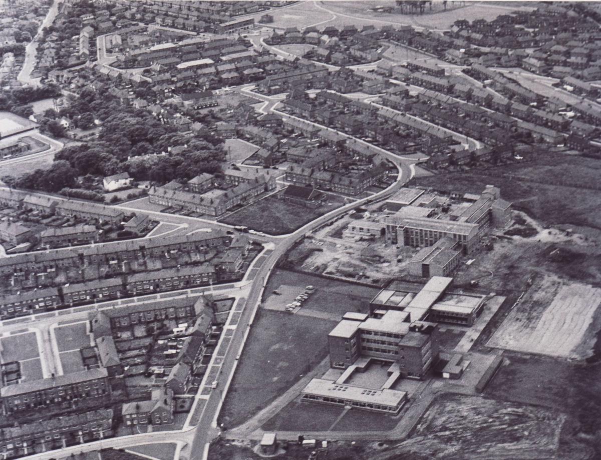
Pictures from the 1950s and 1960s show the changing face of residential areas, as the post war building boom hit its stride with the creation of new housing estates.
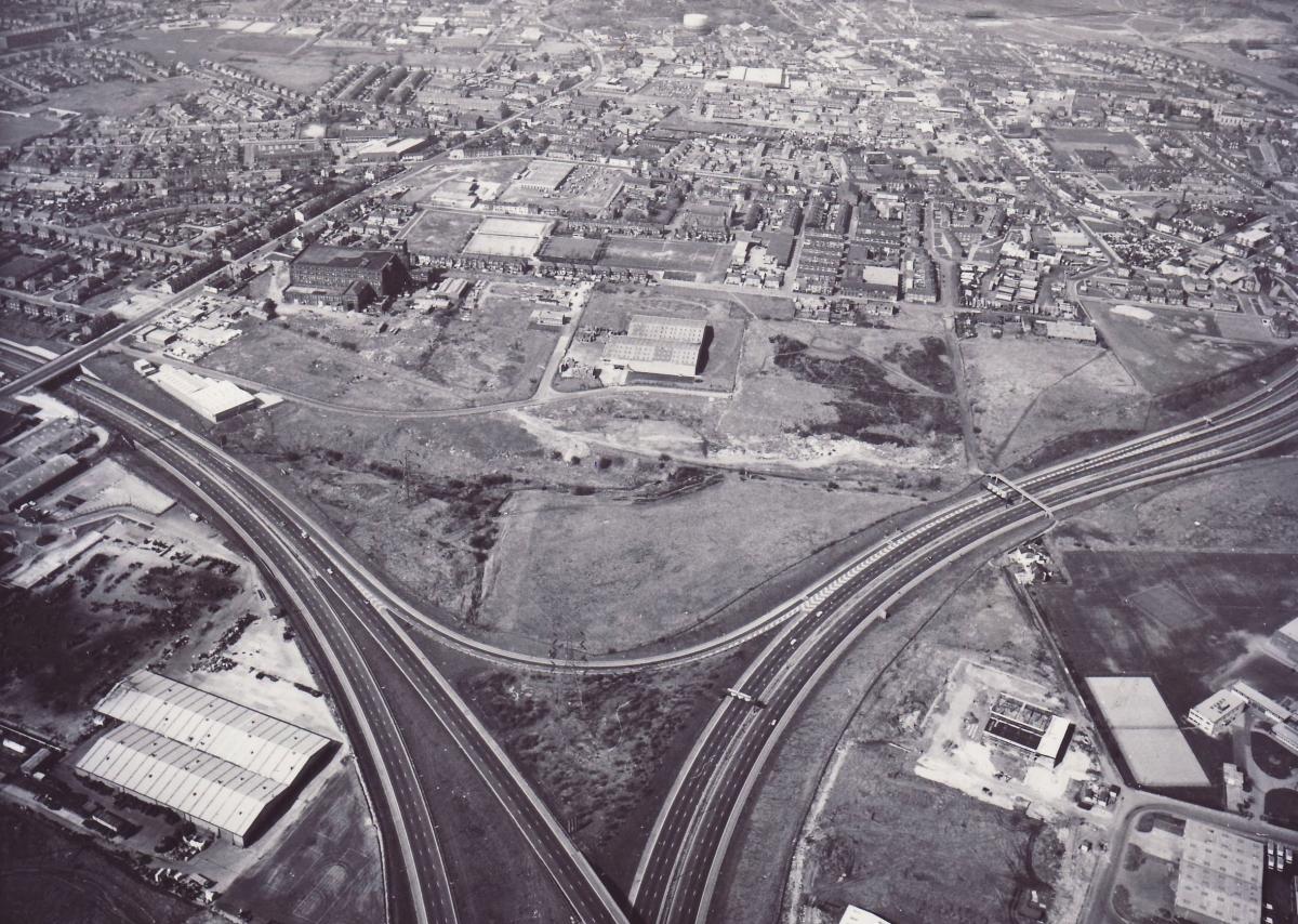
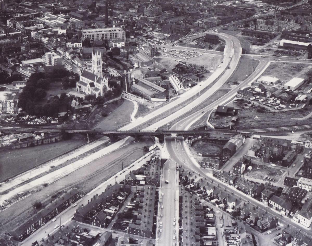
Changes to the town’s transport infrastructure are also evident showing new roads crisscrossing the landscape.
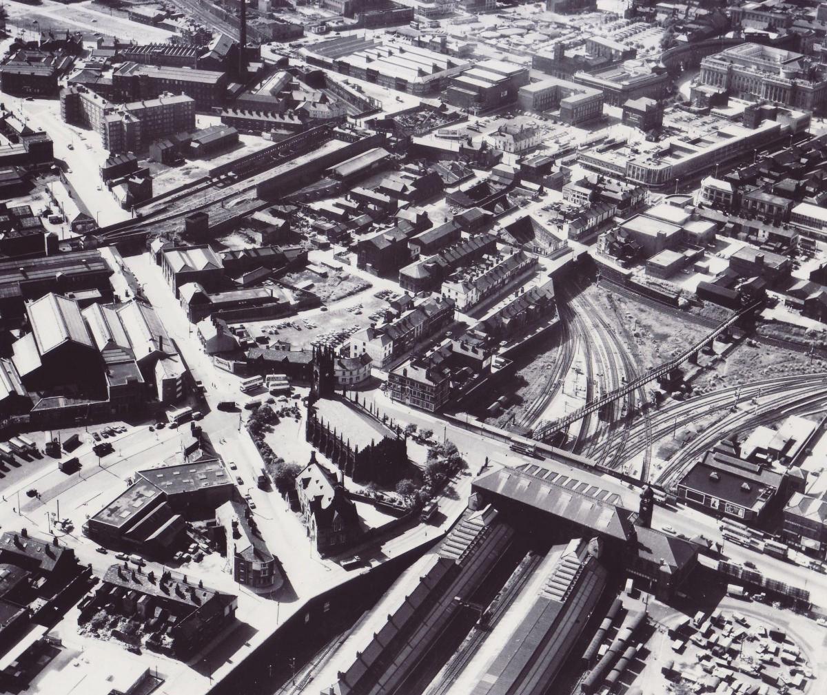
One picture taken in 1965 shows the grand old ticket hall of the current Bolton station, while a little further across town lies the shell of the old Trinity Street station, standing derelict with rails removed from the track bed.
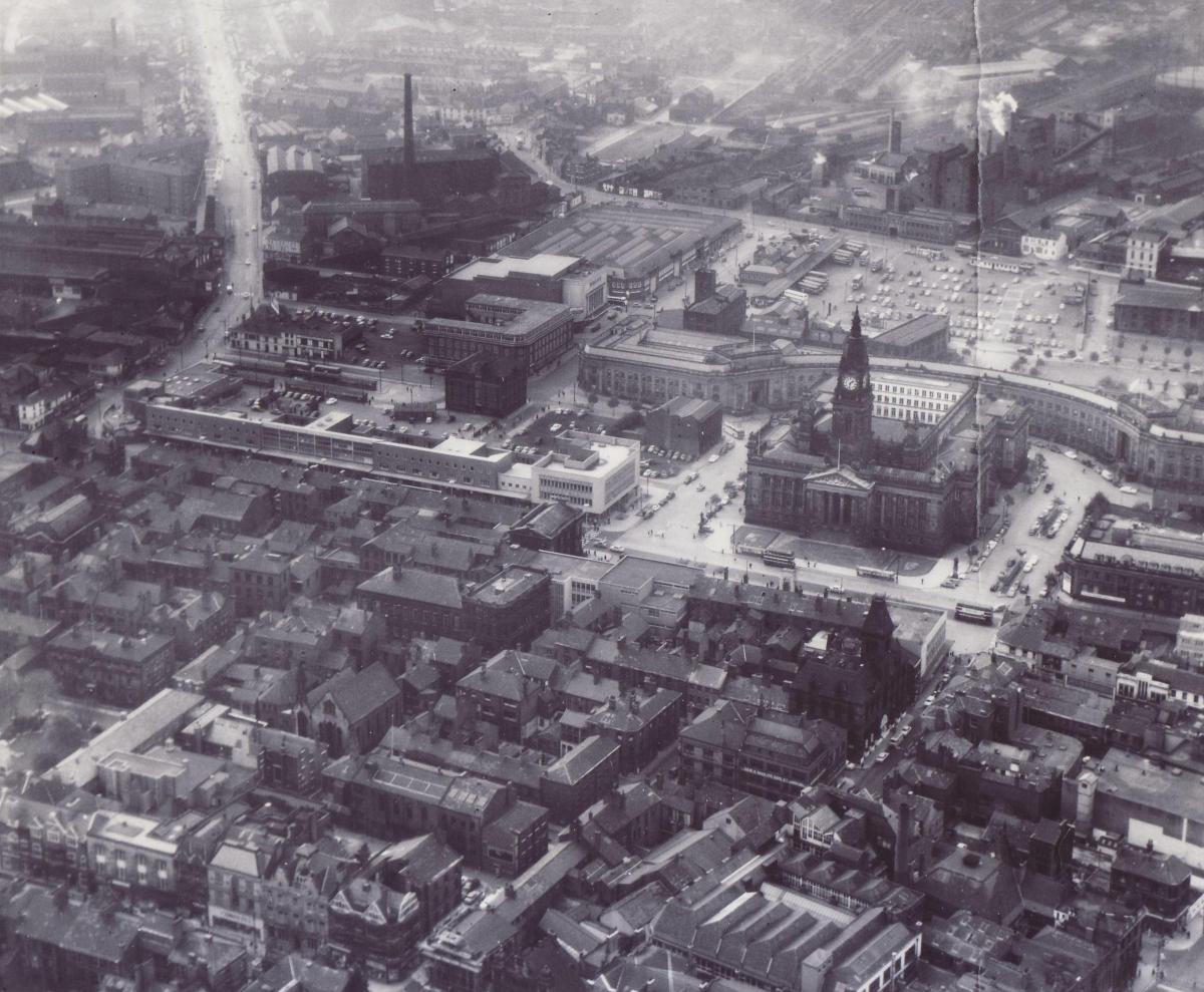
Elsewhere we see Victoria Square still bustling with traffic and a fascinating picture of the under-construction St Peter’s Way.
Meanwhile, an aerial shot of Walkden shows what an impact the shopping centre had on the nature of the town, while others illustrate green fields where now lie housing and industrial estates.
Have a look through the pictures.
Maybe you can see your house in one of the images?


Comments: Our rules
We want our comments to be a lively and valuable part of our community - a place where readers can debate and engage with the most important local issues. The ability to comment on our stories is a privilege, not a right, however, and that privilege may be withdrawn if it is abused or misused.
Please report any comments that break our rules.
Read the rules hereLast Updated:
Report this comment Cancel