

A yellow warning for snow has been issued for Bolton.
The Met Office has issued the alert for the town on Thursday and Friday.
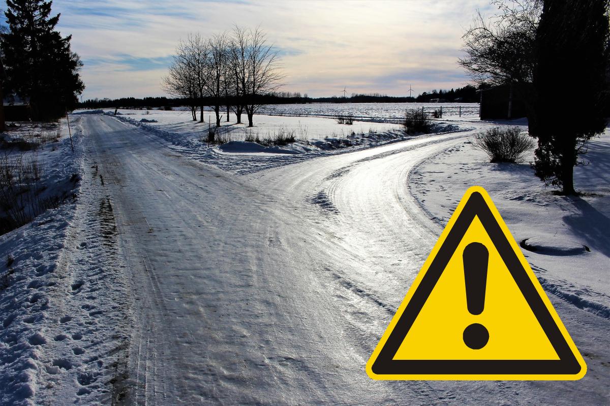
Heavy snow is predicted to fall from noon onwards on Thursday.
The Met Office has warned that snowfall has the potential to cause significant disruption in the area, along with most of Northern England, North Wales, Northern Ireland and a majority of Scotland.
Thursday will start cold at 0° at 6am, with highs of 2° by noon until 9pm when the temperature will rise to 3°.

There is an 80 per cent chance of snow at 12 noon according to the Met Office, it is expected to turn to sleet by 3pm.
A 60 per cent chance of light rain is then expected until 6am on Friday, dropping to 50 per cent until 3pm.
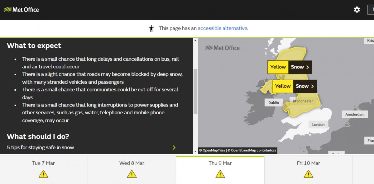
The Met Office has issued guidance for heavy snow stating there is a small chance that long delays and cancellations on bus, rail and air travel could occur.
Tt added there could be i a slight chance that roads may become blocked by deep snow, with many stranded vehicles and passengers
Residents are warned there is a small chance that communities could be cut off for several days
There is a small chance that long interruptions to power supplies and other services, such as gas, water, telephone and mobile phone coverage, may occur
This comes as the Met Office report that tonight (Tuesday) could be the coldest night of the year so far in the country.
Snow and ice warnings have also been issued across the UK for the whole of this week.
Met Office Chief Meteorologist Dan Suri said: “Snow, ice and low temperatures are the main themes of this week’s forecast, as the UK comes under the influence of an arctic maritime airmass as cold air moves in from the north.
⚠️ Frequent snow showers in northern Scotland this afternoon
— Met Office (@metoffice) March 6, 2023
Scattered showers elsewhere, these increasingly wintry in northern England and Northern Ireland
Turning colder in northern areas and feeling bitterly cold in the brisk winds in northern Scotland
Stay #WeatherAware pic.twitter.com/oafTwTEbdv
“Snow is already falling in parts of the north where some travel disruption likely, as well as a chance of some rural communities being cut off.
“Snow showers will continue through today and Tuesday here, and Northern Ireland will also be subject to some snow showers, especially over high ground.
“Ice will provide an additional hazard for many with overnight low temperatures well below 0°C for many. Further south wintry hazards will develop with parts of England and Wales affected by icy patches and snow in places tonight and likely further snow in parts of the south early Wednesday.”


Comments: Our rules
We want our comments to be a lively and valuable part of our community - a place where readers can debate and engage with the most important local issues. The ability to comment on our stories is a privilege, not a right, however, and that privilege may be withdrawn if it is abused or misused.
Please report any comments that break our rules.
Read the rules hereLast Updated:
Report this comment Cancel