


Walk this way to enjoy the Bolton section of GM Ringway, Greater Manchester’s walking trail.
Signposts have now gone up for the route’s Stage 14 section, which runs from Bromley Cross station to Blackrod station, which means more than half of the 186-mile long (300 km) route has been waymarked.
The route launched in 2022, and is even longer than the similar London Outer Orbital Path or "LOOP", which is only 150 miles (242 km) long. Each section is designed to be easily accessible by public transport.
The Stage 14 section, which explores a wide variety of landscapes focused on the Smithills Estate, is 20.5km (12.8 miles) long.

Sign up to our newsletters to get the latest stories sent straight to your inbox.
It was waymarked by a team of volunteers, and a dog, using 100 small white discs – also known as ‘roundels’ – nailed to posts, pillars, gates, and stiles, which point walkers in the direction of travel.
The waymarks also include a QR code that guides users to GM Ringway’s website for information about the route.
According to GM Ringway is believed to be the first national trail to use QR codes.
The stage is made up of a mix of grassland, farmland, moorland, wooded cloughs and bog habitats, crisscrossed by dry stone walls, with panoramic views over Bolton and Manchester.
Winter Hill is the final ‘big hill’ of the whole GM Ringway and a location visible from many parts of the trail.
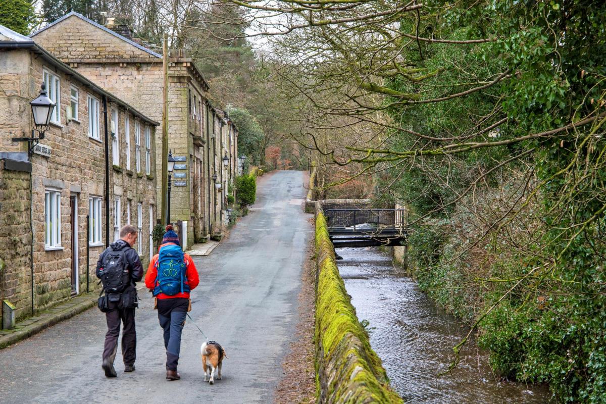
The route also takes walkers past Eagley Brook, the ‘63 steps’ above the picturesque village of Barrow Bridge, and the Grade I-listed Smithills Hall.
Follow The Bolton News on Facebook, Instagram, X (Twitter), and TikTok.
Andrew Read, GM Ringway’s project lead said: “It’s great to see so much of the 20-stage trail is now signposted. It will make the GM Ringway a lot easier to follow.
“We’re working hard to make sure anyone who wants to get out in nature and explore Greater Manchester’s great outdoors can do so without getting lost, by adding helpful waymarks with a handy QR code along the route.
“We are especially grateful to Bolton Council, the Woodland Trust, and Natural England for their support in establishing the route and enabling us to waymark it.”

Designed around existing footpaths, parks and open-access land, the walking trail is divided into 20 stages starting and ending in Manchester city centre.
Along with Stages 13 and 15, Stage 14 links Bolton with the neighbouring towns of Bury and Wigan.
The GM Ringway project is led by two charities – CPRE, the countryside charity, The Ramblers, (Greater Manchester & High Peak Area) – and is supported by a £250,000 Heritage Fund grant.
In addition, the project has received a £2,000 grant from Ramblers Holidays Charitable Trust and £10,000 from TfGM’s Cycle & Stride for Active Lives initiative.
If you have a story, I cover the whole borough of Bolton. Please get in touch at jack.fifield@newsquest.co.uk.


Comments: Our rules
We want our comments to be a lively and valuable part of our community - a place where readers can debate and engage with the most important local issues. The ability to comment on our stories is a privilege, not a right, however, and that privilege may be withdrawn if it is abused or misused.
Please report any comments that break our rules.
Read the rules here